Welcome to SERVIR West Africa's
Data Catalog
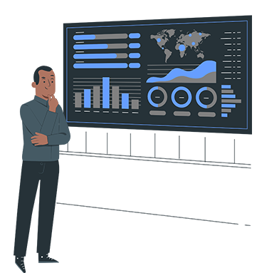
This portal is developed to allow stakeholders access data on the SERVIR at ease.
This portal is developed to allow stakeholders access data on the SERVIR at ease.
SERVIR West Africa promotes the use of publicly available satellite imagery and related geospatial decision-support tools/products to help key stakeholders and decision makers — especially in Burkina Faso, Ghana, Mali, Niger, Nigeria and Senegal — make more informed decisions in four areas: agriculture and food security; water resources and hydroclimatic disasters; weather and climate; and land cover and land use change and ecosystems.
The data catalogue lets you search and discover our useful datasets and services.
Do not hesitate at all, to give us all your feedback and contriution. Thank you.